Artist's Palette - Waiotapu, just outside Rotorua
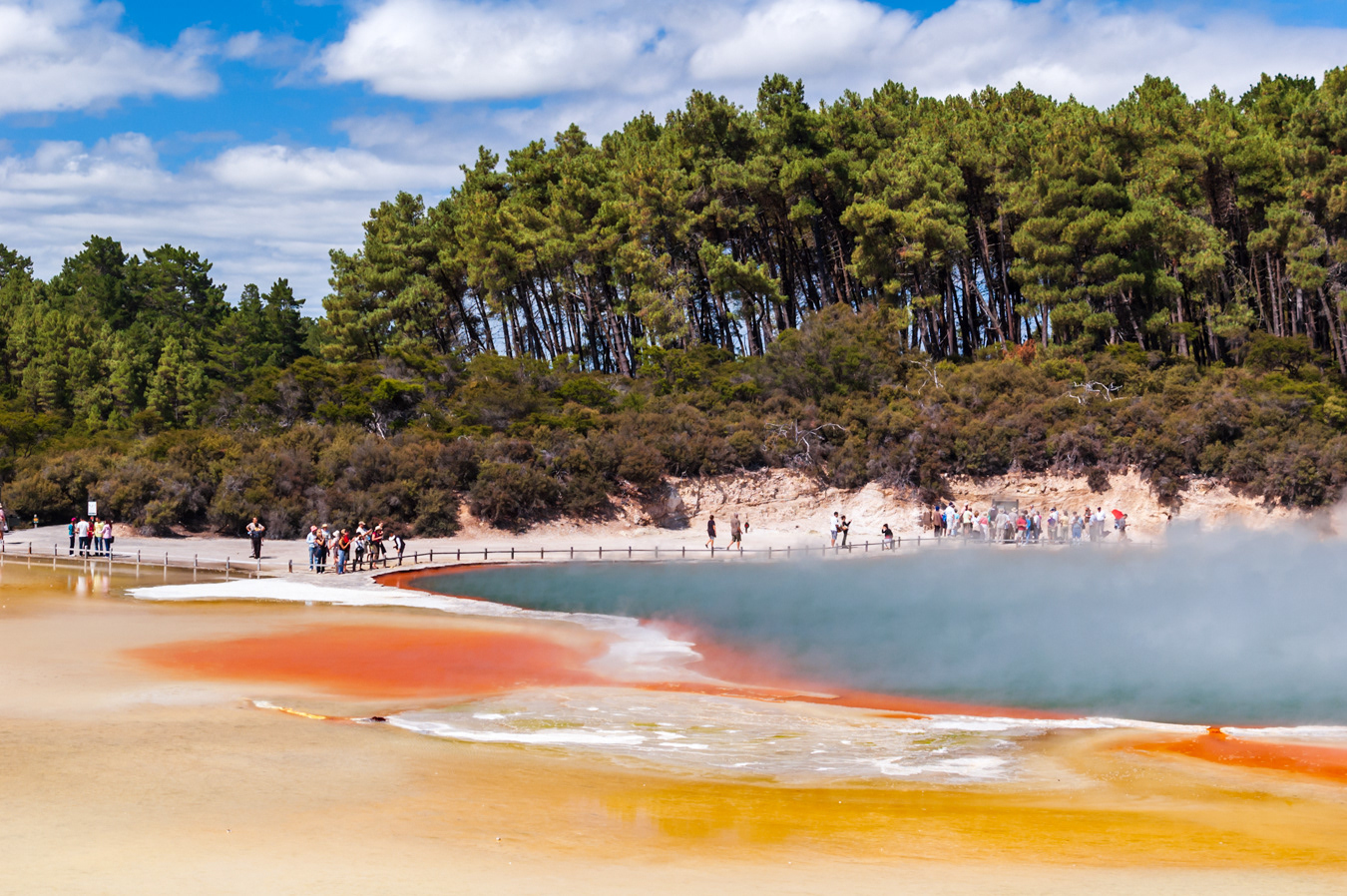
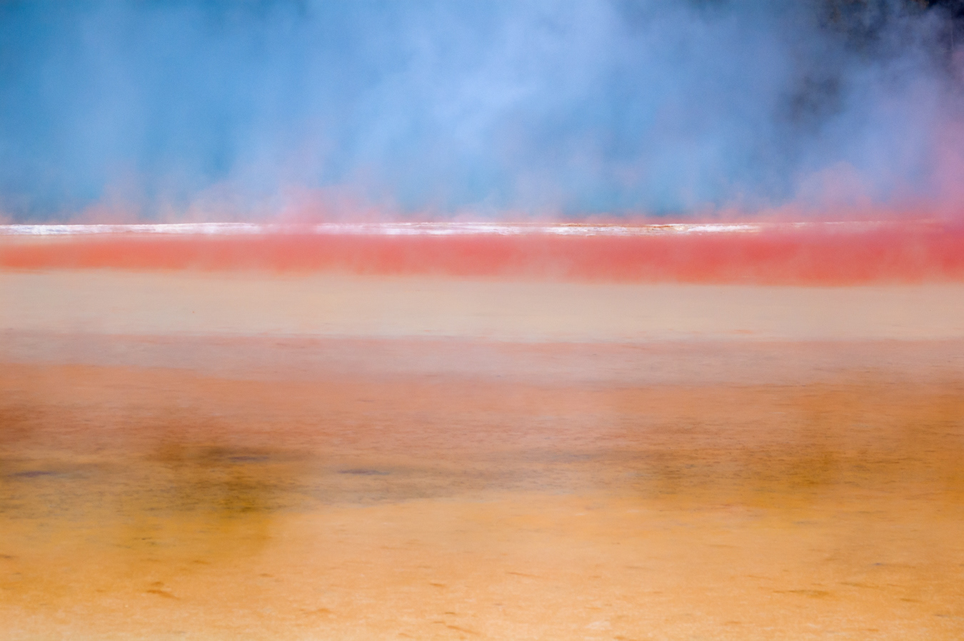
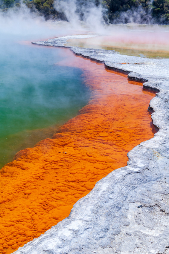
Artist's Palette and Champagne Pool
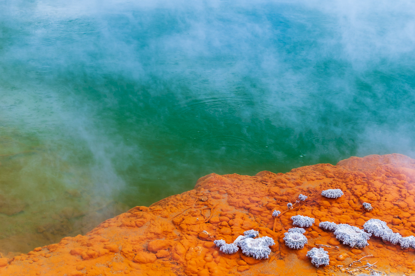
Champagne Pool
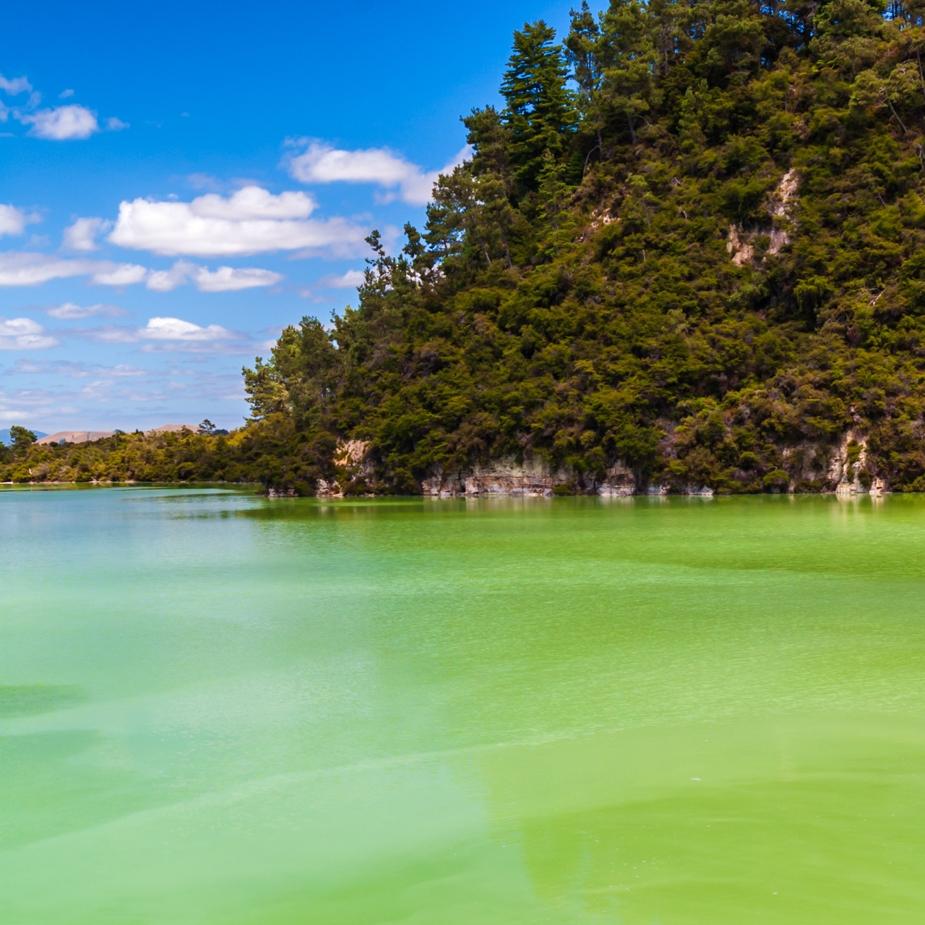
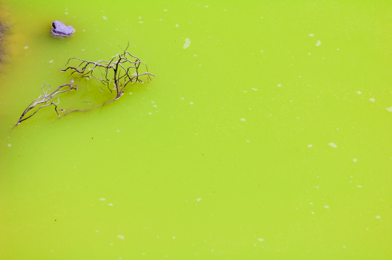
The Devil's Bath

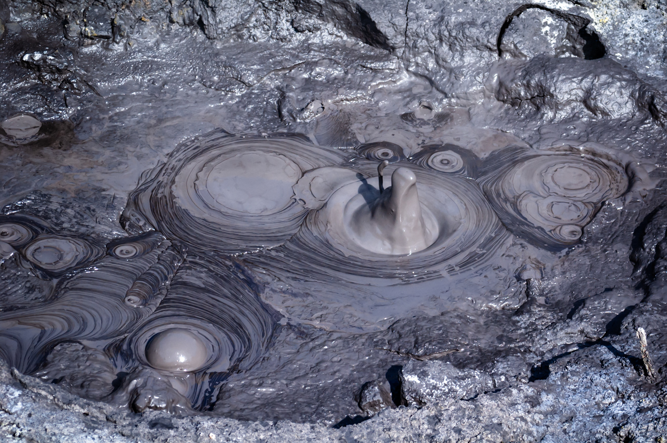
Bubbling mud at Hell's Gate (Tikitere) - Rotorua
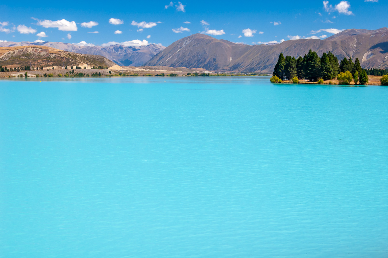
Lake Pukaki - The glacial flour in the water only reflects blue light, hence the colour
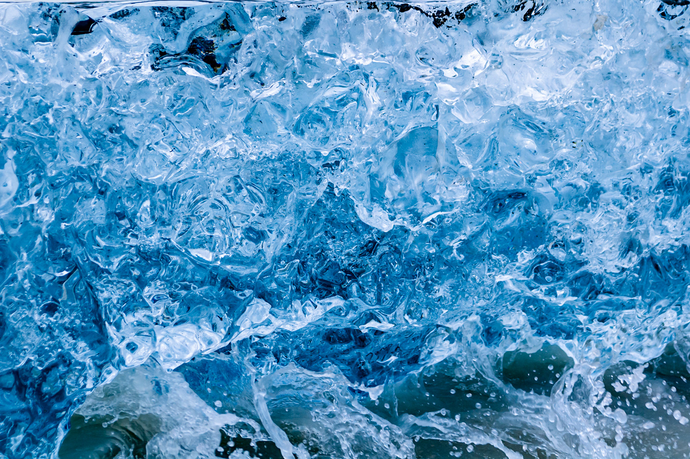
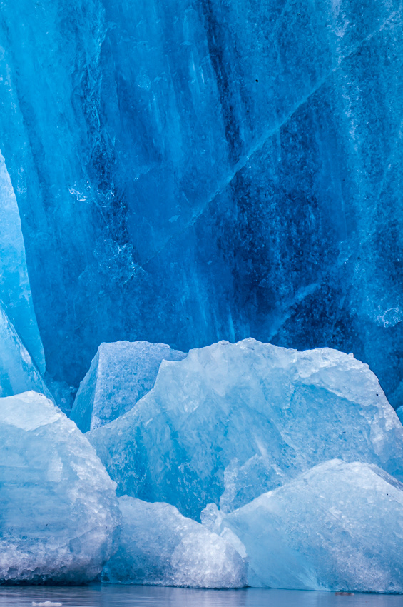
Glacial Ice, Tasman Lake

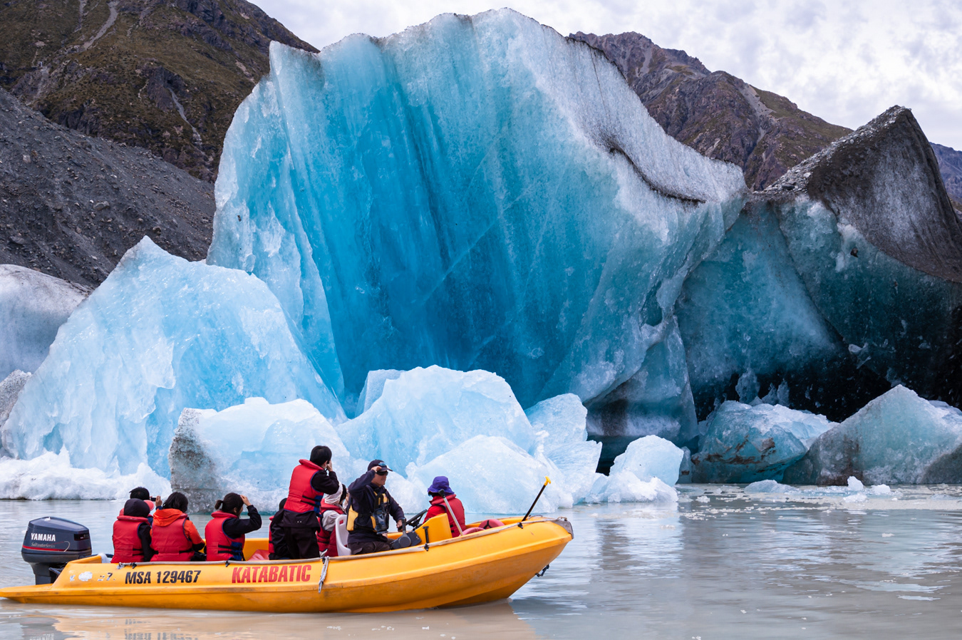
Tasman Lake is formed by glacial meltwater and only began to form in the 1970s

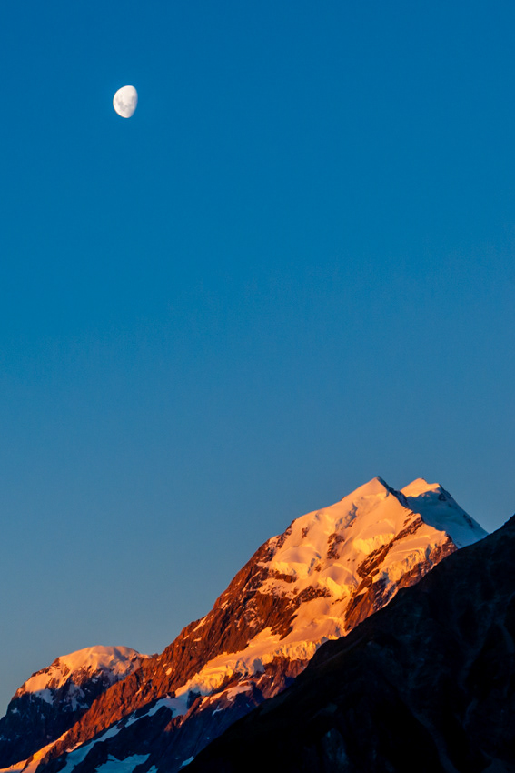
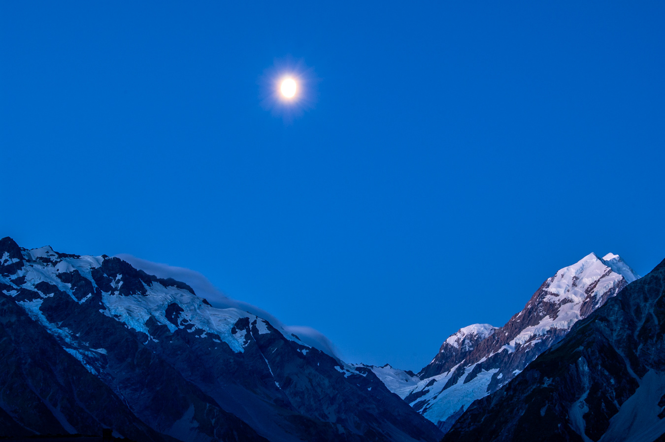

Mount Aoraki is part of the Southern Alps on the South Island
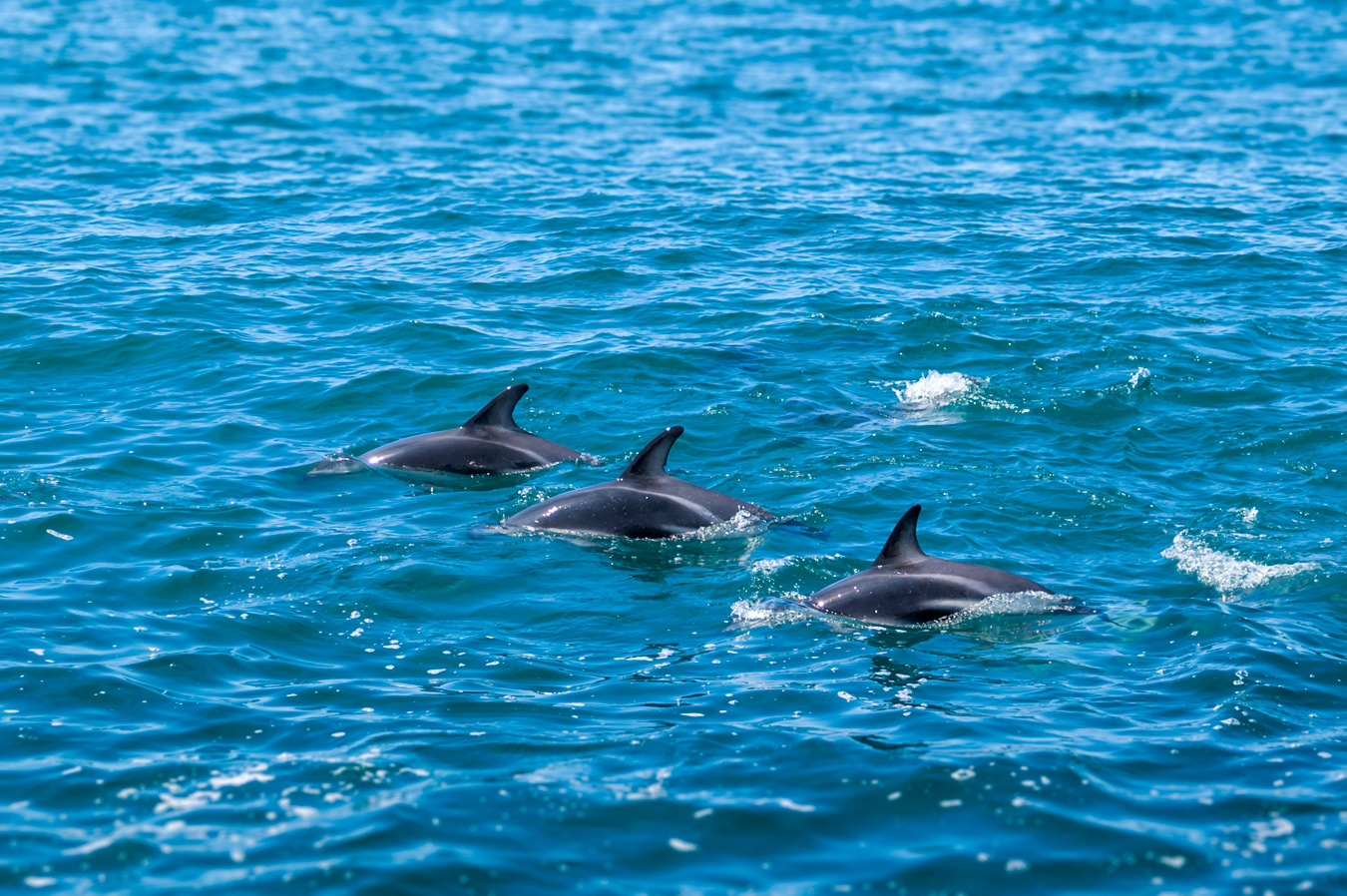
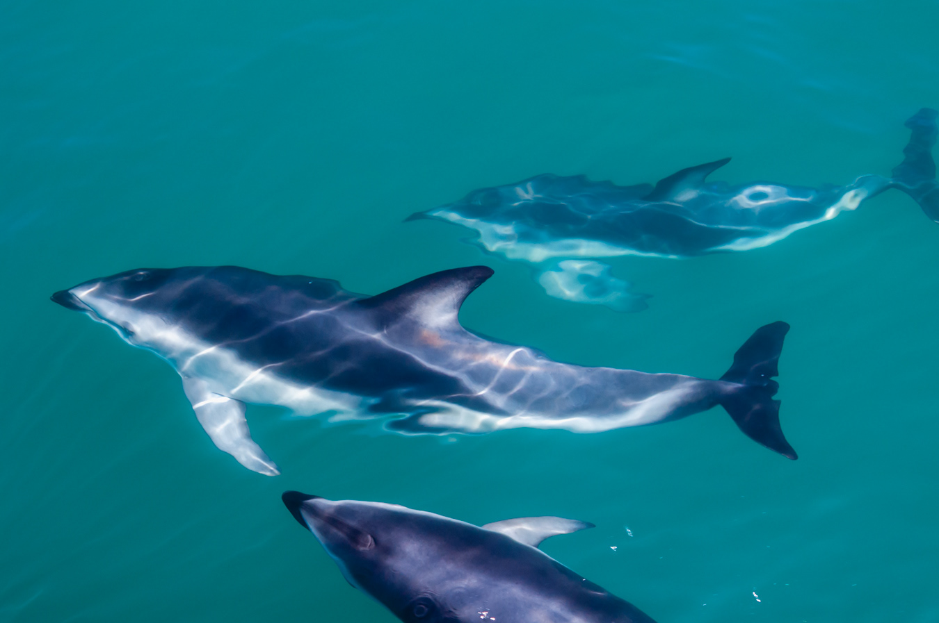
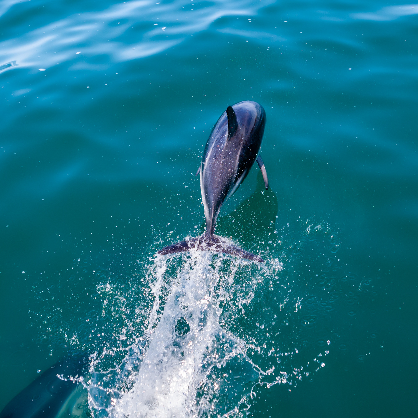
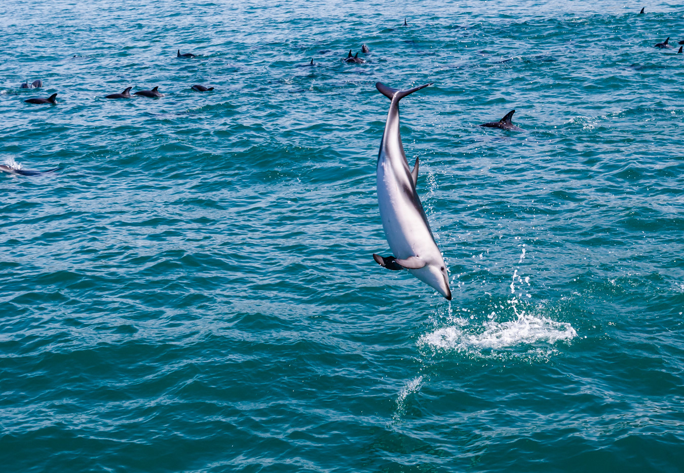
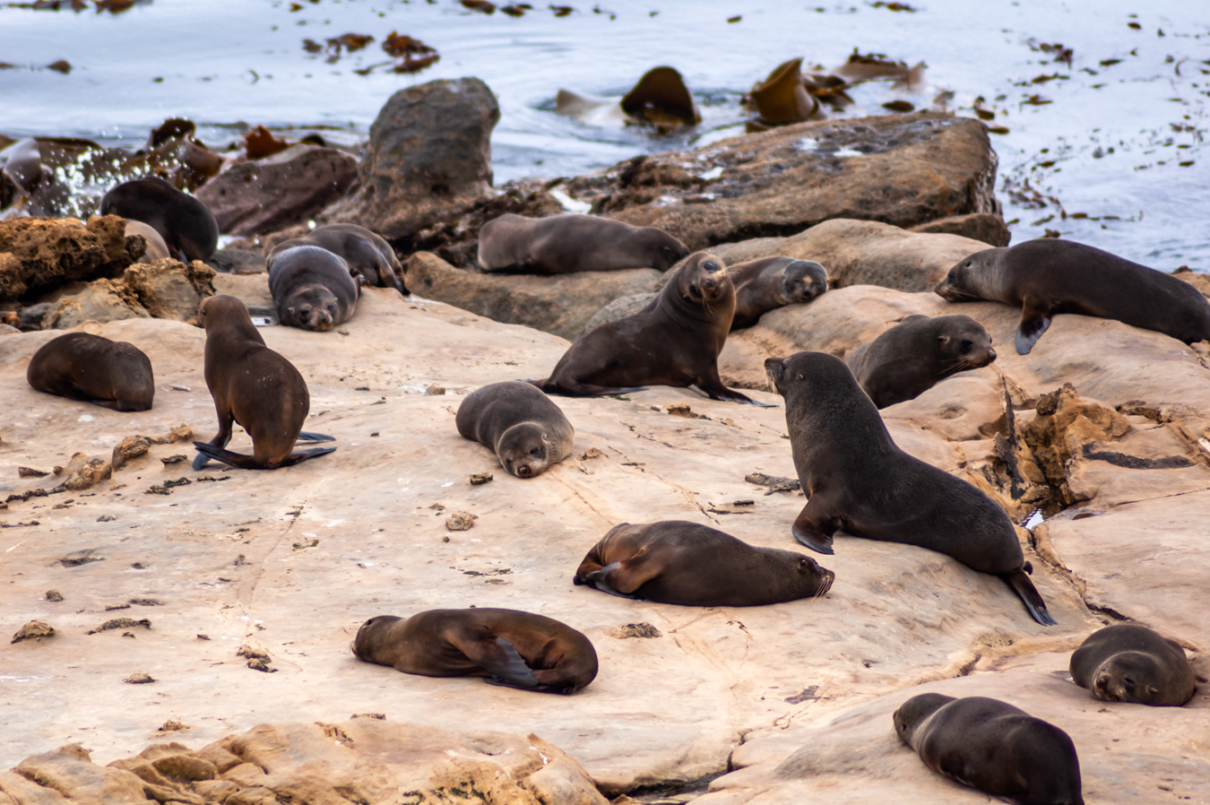
Dusky dolphins (above and below) - Several hundred call the coastal waters of Kaikoura home
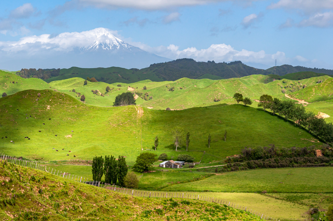
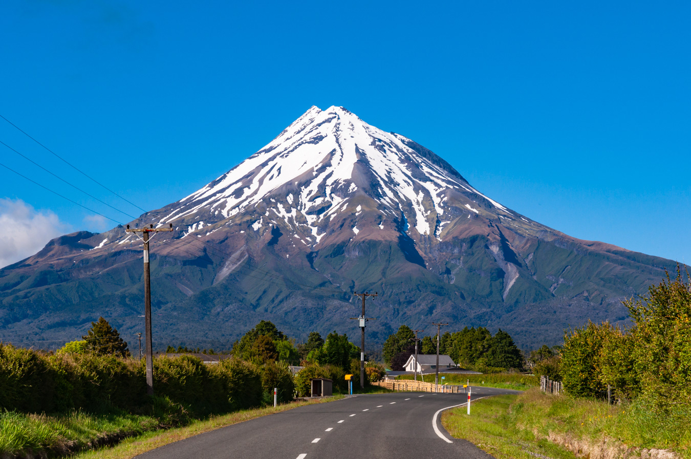
Strathmore Saddle with Mount Taranaki in the distance
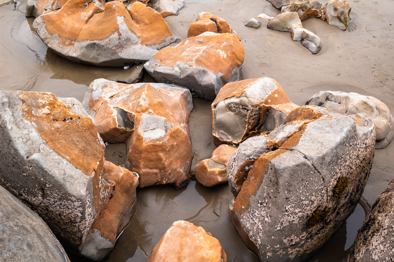

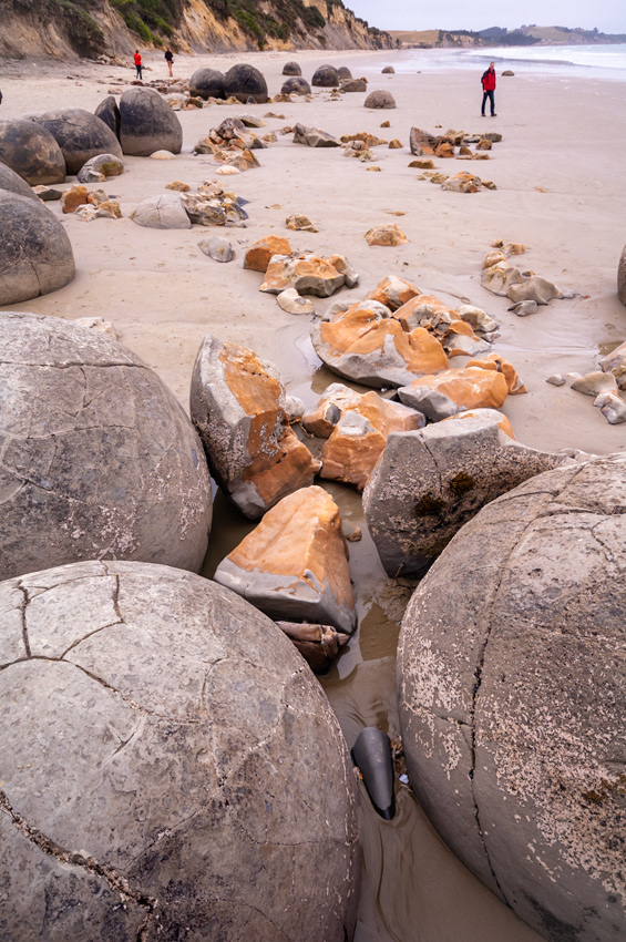
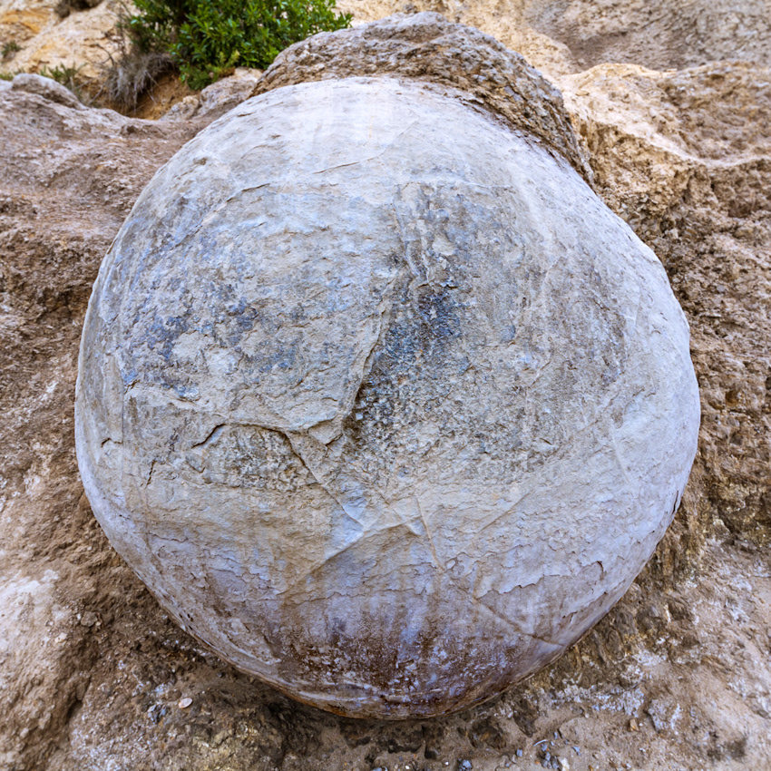
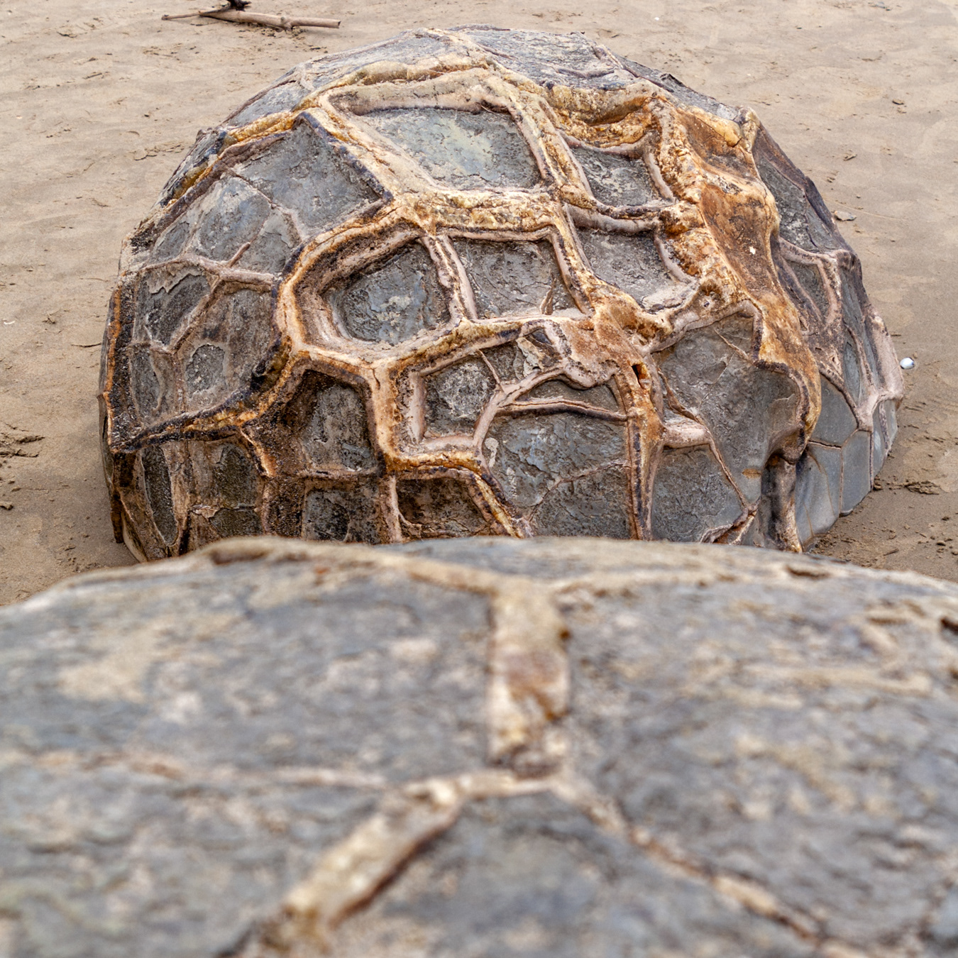
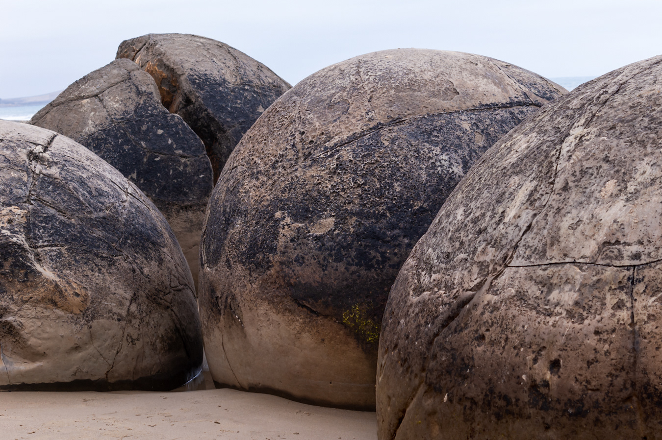
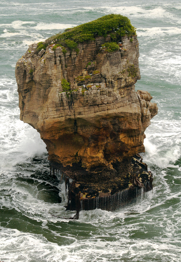
The boulders started to form around 60 million years ago during the Paleocene epoch, on an ancient sea floor. The largest boulders took 4 million years to form.

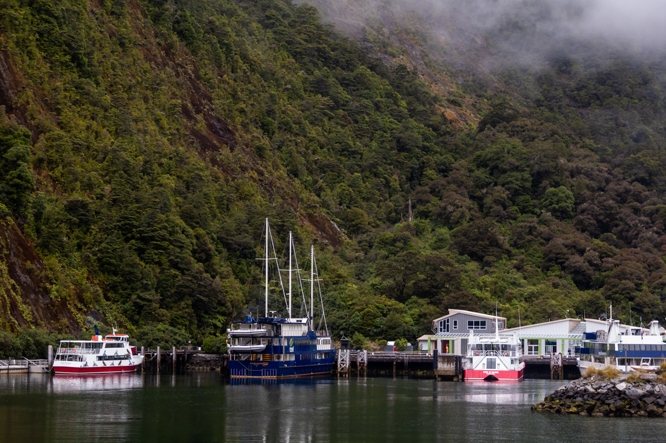
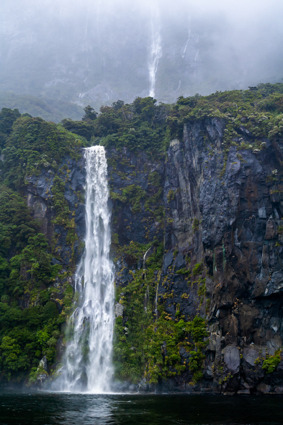
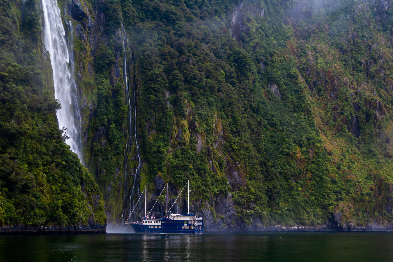
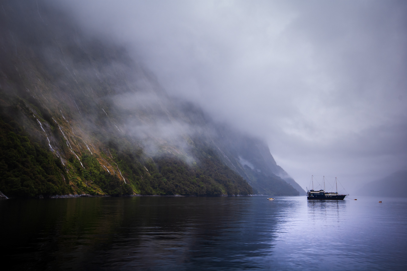
Some of the spectacular waterfalls are permanent whilst others are a transient by-product of the frequent torrential downpours the region is known for. It's reckon that Milford Sound is the wettest place in New Zealand, if not the world
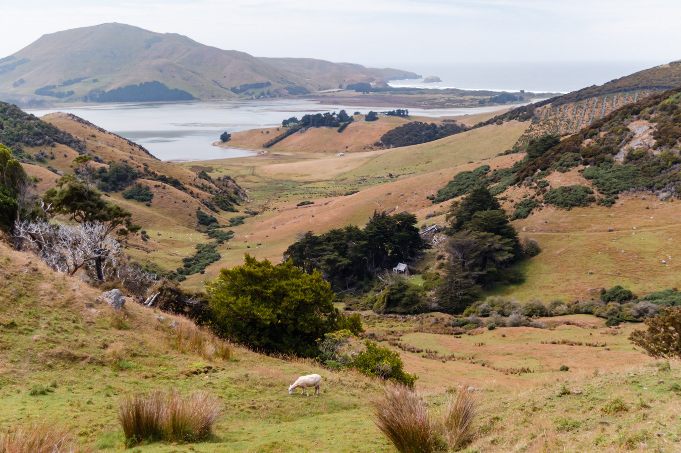

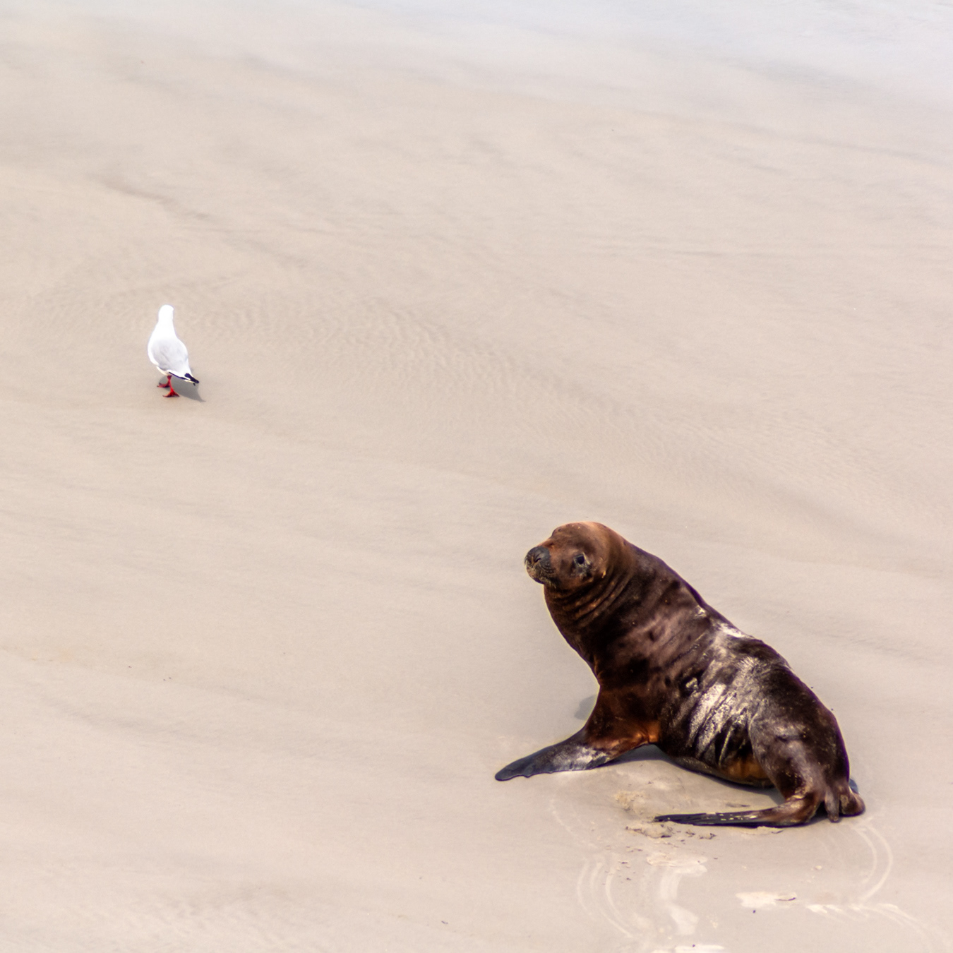
Sandfly Bay, home to sand dunes and New Zealand sea lions (and the odd seagull)
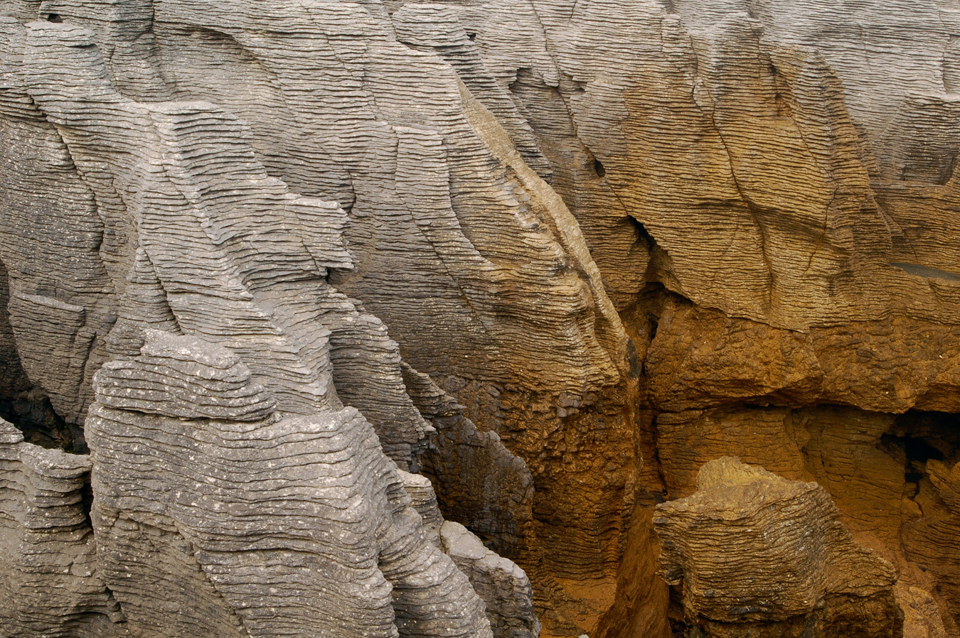
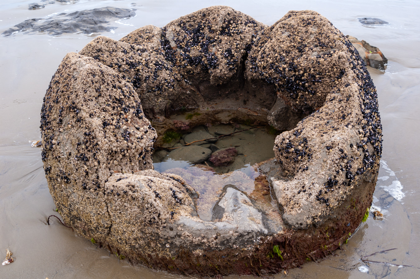
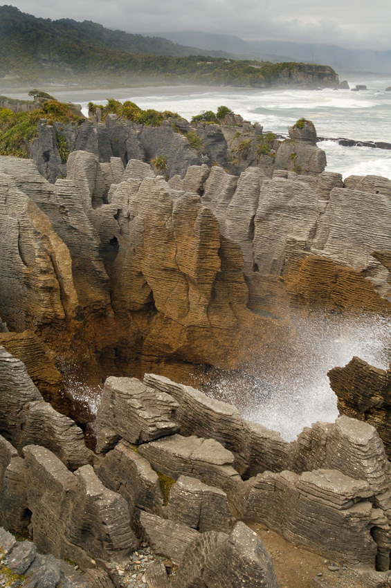
The pancake layering is due to the composition of the limestone. When forming, water pressure caused alternating layers of hard limestone and softer, mud-rich layers to solidify. Erosion then caused the softer layers to wear away faster than the harder ones, causing the pancake effect
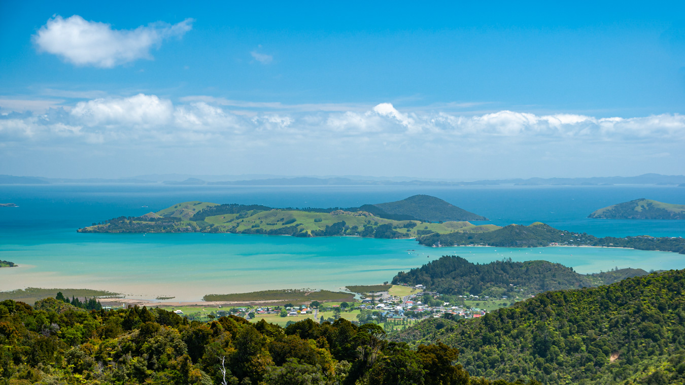
Crossing the Coromandel Peninsula (looking west)
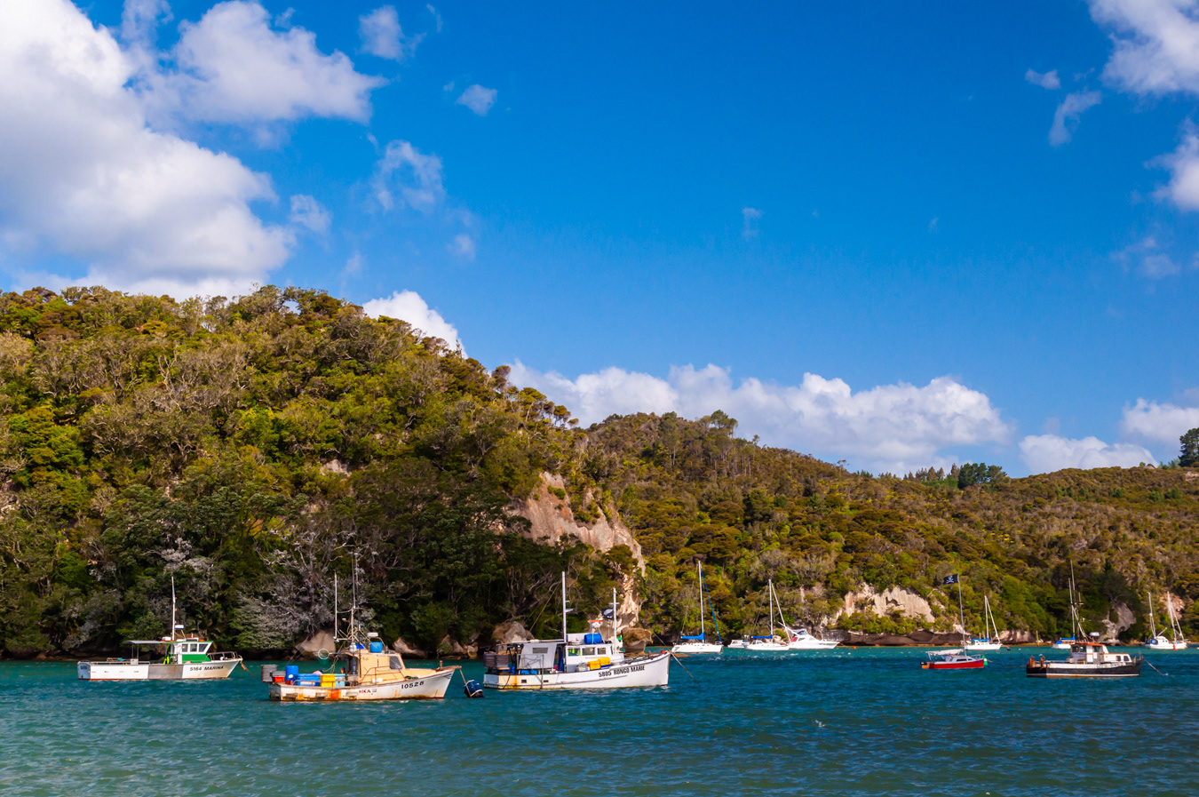
Bay at Whitianga, Coromandel Peninsula, North Island
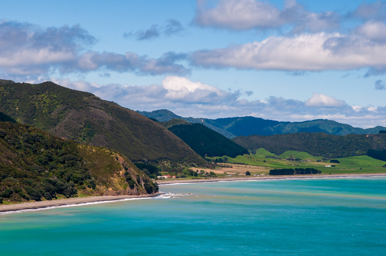
Bay of Plenty, North Island
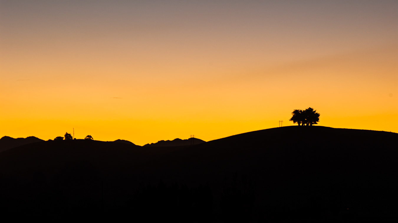
Sunset view on the Coastal Pacific Railway, somwhere between Kaikoura and Picton (South Island)